If you are from the St. Louis area, or if you have spent much time here, then there is a good chance that you have spent some time in the Kiefer Creek Watershed. This small watershed sits on the fringe of the urban sprawl blossoming out into western St. Louis County.
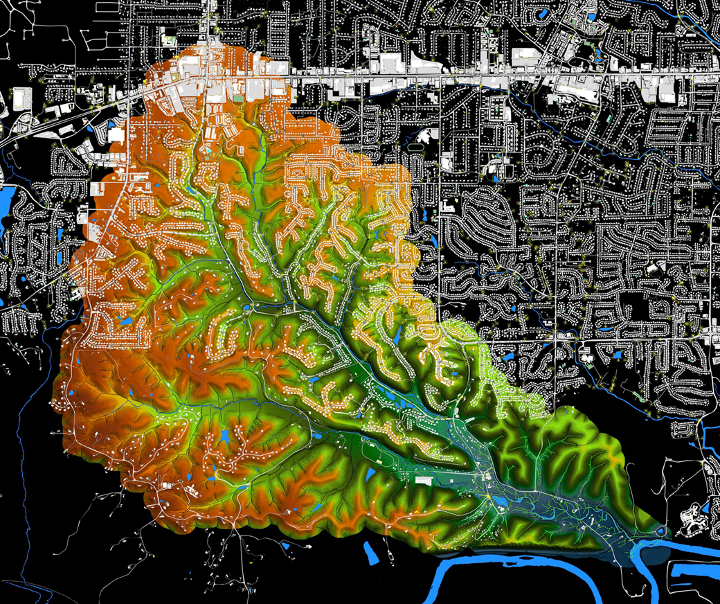
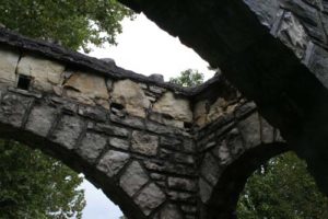
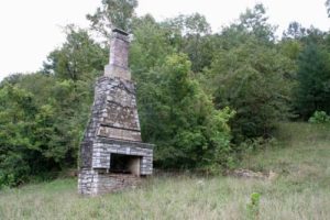
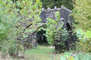
On the northern end of the watershed, Manchester Road forms a thick belt of asphalt and commercial development, the middle of the watershed is home to around 4000 families, a city park and a conservation area, and the lower watershed is dominated by Castlewood State Park with adjacent historic developments dating back to the per-World War II Era and even some very interesting ruins… -Castle-wood indeed!
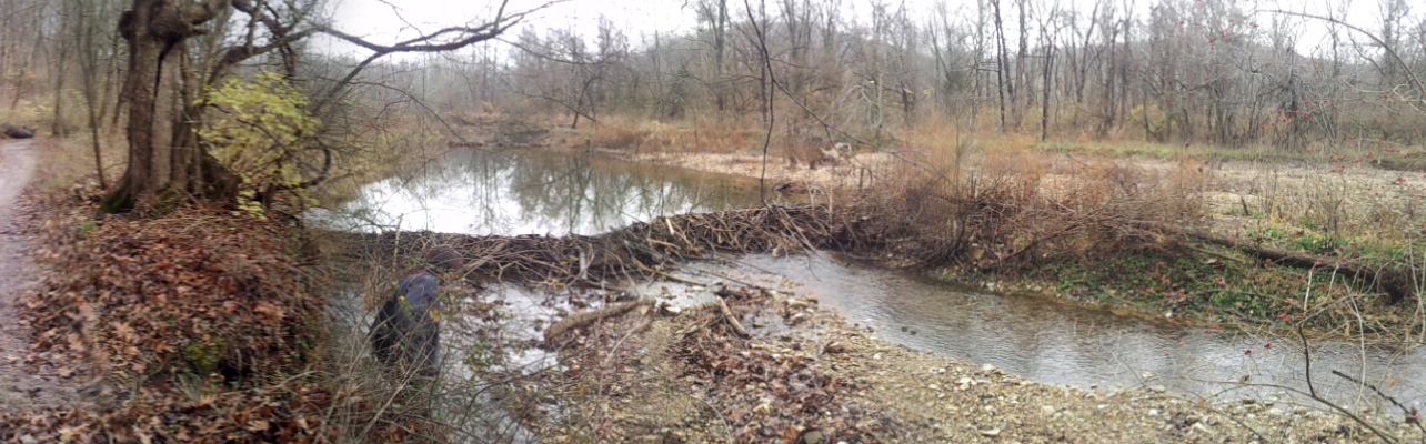
This area is host to a diverse ecosystem, especially by comparison to much of the rest of our meto area, including beavers which have built a number of wetlands along the course of the stream in just the past few years that we have been studying the watershed.
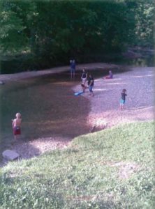
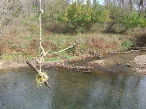
Kiefer Creek flows through the heart of Castlewood State Park, a natural recreation resource cherished by the St. Louis community for over 100 years. With over 500,000 visitors per year, of these we estimate that thousands play and swim in the creek every year. The cool clear waters are very inviting on a hot summer day. Since we started this project we have hosted monthly hikes every second Saturday of the month and on these hikes we have observed an extraordinary range of wildlife, flora & fauna, water quality & flood conditions, and people from around the region enjoying this area.
Kiefer Creek is a tributary to the Meramec River, one of the most biologically diverse, free-flowing, and healthy rivers in any urban area in the United States. In the 1970’s, after a hard fought battle with the federal government, Missourians staunchly rejected proposals to dam this natural wonder. The area around the confluence of Kiefer Creek and the Meramec is a serene, forested place, marking the transition from the part of the lower meramec dominated by development-to the area where conservation efforts have preserved huge amounts of greenspace thanks to decades of diligent efforts bythe Open Space Council, Missouri Department of Conservation, Missouri Department of Natural Resources, St. Louis County and Washington University to name a few.
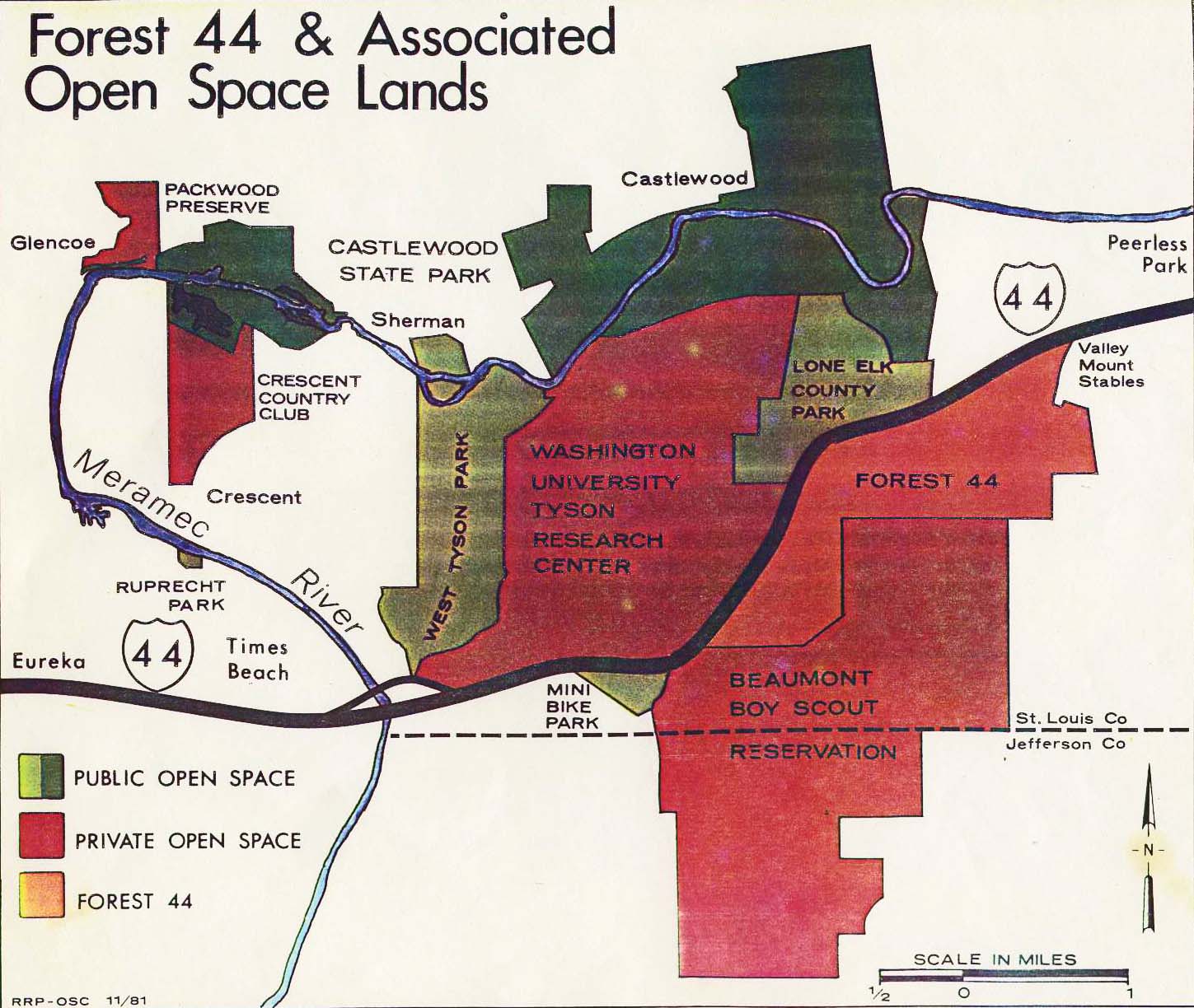
Roger Pryor, Open Space Council – 1981
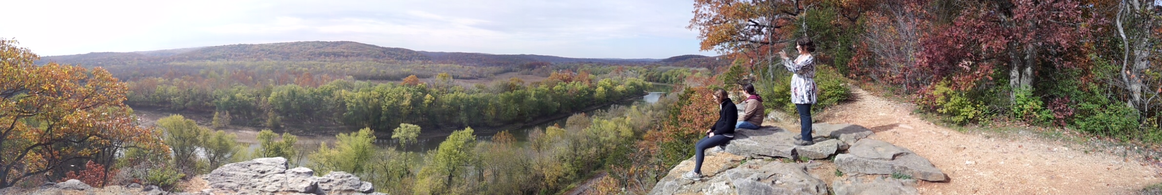
Kiefer Creek is one of the last tributaries to the lower Meramec that retains its natural beauty and a relatively undeveloped watershed.The creek’s natural beauty is an asset to the community. The people in the watershed are clearly proud of their creek – many of the neighborhoods, roads and businesses in the area are named after Kiefer Creek. Unlike their neighbors in nearby watersheds, the people in the Kiefer Creek community can boast about their creek’s natural flowing water, as well as the beauty of their forested and hilly watershed. When travelling through the Kiefer Creek watershed, you get the impression you’re no longer in the suburban sprawl of St. Louis County – the trees, steeply sloped hillsides and clear flowing water transport you back in time. Even in the parts of the watershed with significant suburban development, the residents have stunning views of the beautiful landscape, thanks to the dramatic topography of the area..
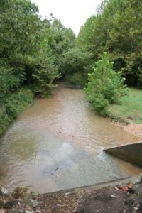
Unfortunately, Kiefer Creek exhibits high levels of bacteria after rainfall. In testing by the USGS between 1996 and 2004, bacteria levels exceeded safe levels for recreation, especially after increased flows from rainfall in the watershed. It also gets so overloaded with salt in the winter that it is incapable of supporting the natural diversity of aquatic life that it could otherwise. Because of this situation, we decided to undertake writing a Watershed Plan to come up with ways to reduce the degrading impacts of bacteria and chloride, which come from non-point sources, unlike more regulated pollution from pollution outfall pipes. Please check out the other pages on this site to learn more about our planning process, events, and the watershed.